 | |  |
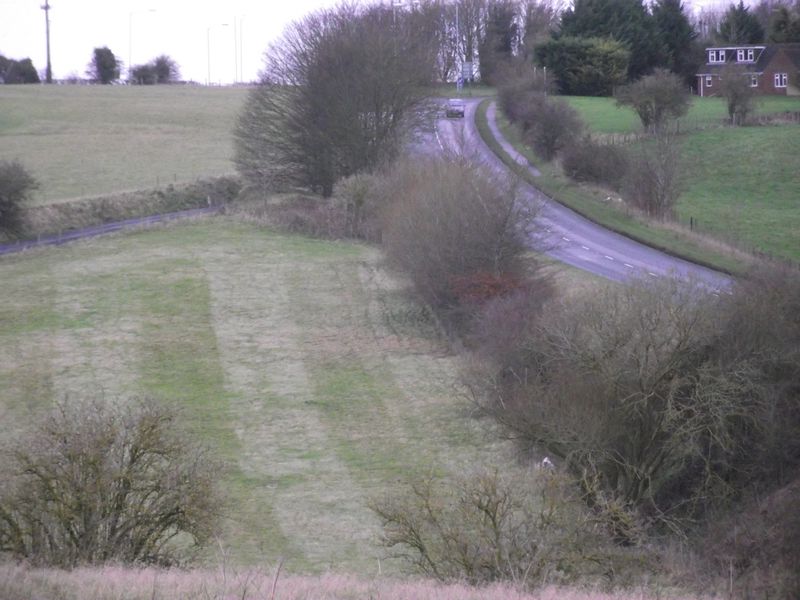
| | Description: | From the Wood Henge car park looking towards Durrington in Wiltshire. The newer A345 is to the right and the former route is coming up to the left.. | | Location: | 51.1899718, -1.7850423 | | Road: | A345 | | Date: | 25 12 2011 | | Photographer: | The Route Master | | Source: | |
|
|
| |
 | |  |
File history
Click on a date/time to view the file as it appeared at that time.
| Date/Time | Thumbnail | Dimensions | User | Comment |
|---|
| current | 08:38, 25 December 2011 | 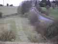 | 4,000 × 3,000 (2.25 MB) | Robbie george (talk | contribs) | From the Wood Henge car park looking towards Durrington in Wiltshire. The newer A345 is to the right and the former route is coming up to the left.. |
File usage
There are no pages that use this file.
This file contains additional information, probably added from the digital camera or scanner used to create or digitise it.
If the file has been modified from its original state, some details may not fully reflect the modified file.
