 | |  |
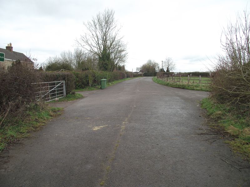
| | Description: | Old route of the A361 at Nunney near Frome.I'm assuming that the newer relief road opened in the 1980s today it is a footpath.. | | Location: | 51.2024200, -2.3691845 | | Road: | A361 | | Date: | 18 03 2012 | | Photographer: | Robbie George | | Source: | |
|
|
| |
 | |  |
File history
Click on a date/time to view the file as it appeared at that time.
| Date/Time | Thumbnail | Dimensions | User | Comment |
|---|
| current | 11:52, 18 March 2012 | 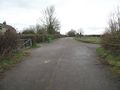 | 4,000 × 3,000 (2.9 MB) | Robbie george (talk | contribs) | Old route of the A361 at Nunney near Frome.I'm assuming that the newer relief road opened in the 1980s today it is a footpath.. |
File usage
There are no pages that use this file.
This file contains additional information, probably added from the digital camera or scanner used to create or digitise it.
If the file has been modified from its original state, some details may not fully reflect the modified file.
