 | |  |
| | Description: | A345 that was.Pre 1969 this was the old route heading out from Amesbury to the then crossroads at Durrington Park at Wood henge to visit this road. | | Location: | 51.1900289, -1.7852139 | | Road: | A345 | | Date: | 07 03 2011 | | Photographer: | Robbie George | | Source: | |
|
|
| |
 | |  |
File history
Click on a date/time to view the file as it appeared at that time.
| Date/Time | Thumbnail | Dimensions | User | Comment |
|---|
| current | 20:40, 6 November 2011 | 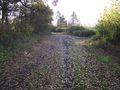 | 4,000 × 3,000 (3.08 MB) | Robbie george (talk | contribs) | Where the old gets severed by the new this being the old route of the A36 coming up the hill from the Beckington roundabout with the A361.. |
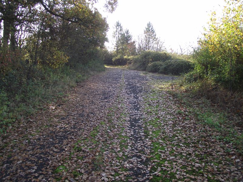
| 06:59, 21 August 2011 | 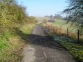 | 2,288 × 1,712 (913 KB) | Robbie george (talk | contribs) | A345 that was.Pre 1969 this was the old route heading out from Amesbury to the then crossroads at Durrington Park at Wood henge to visit this road. |
File usage
The following page uses this file:
This file contains additional information, probably added from the digital camera or scanner used to create or digitise it.
If the file has been modified from its original state, some details may not fully reflect the modified file.

