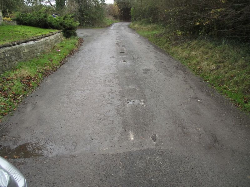
One of the most dangerous parts on the old route of the A36 was arguably the decent down Black dog hill towards Beckton.This shot is taken on the Warminster side looking towards Black dog hill..
One of the most dangerous parts on the old route of the A36 was arguably the decent down Black dog hill towards Beckton.This shot is taken on the Warminster side looking towards Black dog hill..
File usage
There are no pages that use this file.
Metadata
This file contains additional information, probably added from the digital camera or scanner used to create or digitise it.
If the file has been modified from its original state, some details may not fully reflect the modified file.
