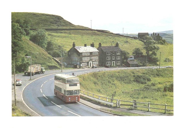
File:Oldham Road in 1968 - Geograph - 279488.jpg
Jump to navigation
Jump to search

No higher resolution available.
Oldham_Road_in_1968_-_Geograph_-_279488.jpg (640 × 446 pixels, file size: 66 KB, MIME type: image/jpeg)
| |||||||||||||||||||||||||
File history
Click on a date/time to view the file as it appeared at that time.
| Date/Time | Thumbnail | Dimensions | User | Comment | |
|---|---|---|---|---|---|
| current | 01:26, 16 January 2010 | | 640 × 446 (66 KB) | Bryn666 (talk | contribs) | {{Information |description = Oldham Road in 1968 |day = |month = |year = 1968 |photographer = © Copyright [http://www.geograph.org.uk/profile/7121 Paul Anderson] and licensed for reuse under [http://creativecommons.org/licenses |
File usage
The following 2 pages use this file: