File:Onslow Street Bridge (C) N Chadwick - Geograph - 3959012.jpg

From Roader's Digest: The SABRE Wiki
Jump to navigation Jump to search

Onslow_Street_Bridge_(C)_N_Chadwick_-_Geograph_-_3959012.jpg(640 × 430 pixels, file size: 58 KB, MIME type: image/jpeg)

Y topleft.gifY topright.gif
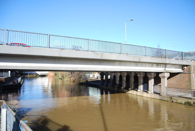
Description:Onslow Street Bridge (C) N Chadwick

The River Wey is a major tributary of the River Thames and joins it at Weybridge. It comprises two main tributaries, the North Wey and South Wey. The North Wey rises near Alton and flows through Farnham before joining the South Wey near Shalford, just south of Guildford. The South Wey rises on Black Down near Haselmere. <a title='http://en.wikipedia.org/wiki/River_Wey' rel='nofollow' href='http://en.wikipedia.org/wiki/River_Wey'>Link</a><img style='padding-left:2px;' alt='External link' title='External link - shift click to open in new window' src='http://s1.geograph.org.uk/img/external.png' width='10' height='10'/>

See other images of <a href='/snippet/2587' title='See other images in River Wey'>River Wey</a>
Location:51.235497, -0.577749
Road:A31
Date:01 02 2014
Photographer:N Chadwick and licensed for reuse under this Creative Commons Licence
Source:Geograph

Map

Y btmleft.gifY btmright.gif

Galleries  | A31 | Friary Bridge | Guildford

File history

Click on a date/time to view the file as it appeared at that time.

Date/TimeThumbnailDimensionsUserComment
current17:00, 31 October 2014Thumbnail for version as of 17:00, 31 October 2014640 × 430 (58 KB)Jeni (talk | contribs)'''Onslow Street Bridge (C) N Chadwick '''<br/> The River Wey is a major tributary of the River Thames and joins it at Weybridge. It comprises two main tributaries, the North Wey and South Wey. The North Wey rises near Alton and flows through Farnha...

The following 2 pages use this file:

SABRE - The Society for All British and Irish Road Enthusiasts
Discuss - Digest - Discover - Help