File:Oxley Moor Bridge, Staffordshire and Worcestershire Canal - Geograph - 6052279.jpg
Jump to navigation
Jump to search

No higher resolution available.
Oxley_Moor_Bridge,_Staffordshire_and_Worcestershire_Canal_-_Geograph_-_6052279.jpg (640 × 480 pixels, file size: 100 KB, MIME type: image/jpeg)
| |||||||||||||||||||||||||
|
Galleries | U118 (Wolverhampton) | Wolverhampton | Oxley Moor Bridge | ||
File history
Click on a date/time to view the file as it appeared at that time.
| Date/Time | Thumbnail | Dimensions | User | Comment | |
|---|---|---|---|---|---|
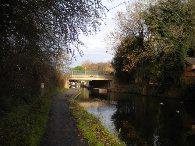
| current | 11:30, 28 March 2020 | | 640 × 480 (100 KB) | Steven (talk | contribs) | '''Oxley Moor Bridge, Staffordshire & Worcestershire Canal''' Carrying Oxley Moor Road across the canal without a great deal of headroom. |
File usage
The following 3 pages use this file: