File:PC290004.JPG
Jump to navigation
Jump to search


Size of this preview: 800 × 600 pixels. Other resolution: 1,716 × 1,287 pixels.
Original file (1,716 × 1,287 pixels, file size: 873 KB, MIME type: image/jpeg)
| |||||||||||||||||||||||||
|
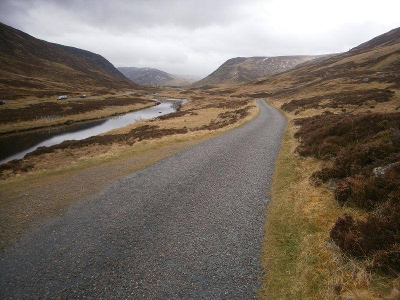
Galleries | A93 | Wades Military Roads | Photo of the Month October 2017 | Braemar | Single track road | Snow Roads Scenic Route | Deeside Tourist Route | ||
File history
Click on a date/time to view the file as it appeared at that time.
| Date/Time | Thumbnail | Dimensions | User | Comment | |
|---|---|---|---|---|---|
| current | 10:25, 4 September 2017 | | 1,716 × 1,287 (873 KB) | Norfolktolancashire (talk | contribs) | Old Military Road near Braemar with A93 to the left |
File usage
The following 2 pages use this file: