File:PORTMUCK - GOING DOWN - Coppermine - 9987.jpg
Jump to navigation
Jump to search

Size of this preview: 800 × 532 pixels. Other resolution: 1,504 × 1,000 pixels.
Original file (1,504 × 1,000 pixels, file size: 301 KB, MIME type: image/jpeg)
| ||||||||||||||
|
Galleries | Unclassified | S2 | ||
File history
Click on a date/time to view the file as it appeared at that time.
| Date/Time | Thumbnail | Dimensions | User | Comment | |
|---|---|---|---|---|---|
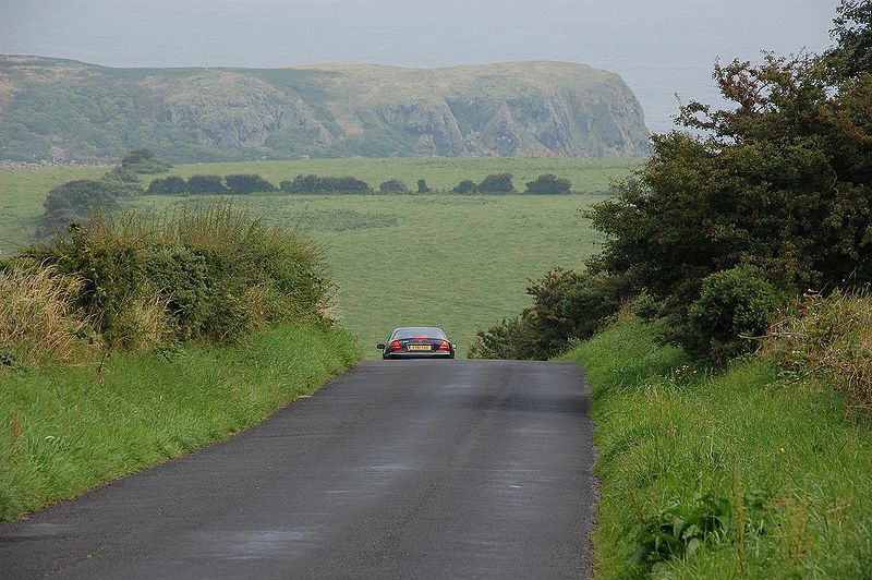
| current | 13:16, 25 May 2010 | | 1,504 × 1,000 (301 KB) | Bob@romiley1 (talk | contribs) | '''PORTMUCK - GOING DOWN''' Islandmagee, Co Antrim has a number of unclassified roads running through agricultural countryside. Portmuck consists of a few houses and a small harbour. The Portmuck Road runs off the Brown�s Bay Road (B90) and descends, b |
File usage
There are no pages that use this file.