
No higher resolution available.
File history
Click on a date/time to view the file as it appeared at that time.
| Date/Time | Thumbnail | Dimensions | User | Comment |
|---|
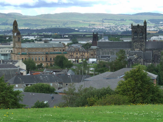
| current | 12:17, 30 May 2017 | 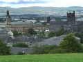 | 640 × 480 (145 KB) | Viator (talk | contribs) | Paisley from Saucel Hill. The Town Hall, Paisley Abbey and the M8 White Cart Viaduct are visible, with Clydebank in the distance. |
File usage
The following page uses this file:
This file contains additional information, probably added from the digital camera or scanner used to create or digitise it.
If the file has been modified from its original state, some details may not fully reflect the modified file.