File:Park Avenue, Bedford (C) Rich Tea - Geograph - 1395957.jpg
Jump to navigation
Jump to search

No higher resolution available.
Park_Avenue,_Bedford_(C)_Rich_Tea_-_Geograph_-_1395957.jpg (640 × 480 pixels, file size: 95 KB, MIME type: image/jpeg)
| |||||||||||||||||||||||||
|
Galleries | A6172 (Bedford) | unclassified | ||
File history
Click on a date/time to view the file as it appeared at that time.
| Date/Time | Thumbnail | Dimensions | User | Comment | |
|---|---|---|---|---|---|
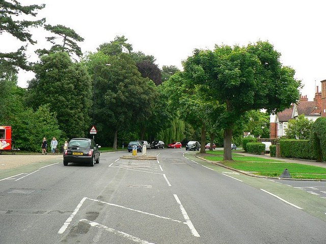
| current | 20:49, 16 November 2014 | | 640 × 480 (95 KB) | Vlad (talk | contribs) | '''Park Avenue, Bedford (C) Rich Tea '''<br/>Looking north-east from a traffic island. The entrance to Bedford Park is on the left, and St Augustine's Road on the right. |
File usage
The following 2 pages use this file:
_Rich_Tea_-_Geograph_-_1395957.jpg&oldid=390963)