File:Parr Street, St. Helens - Geograph - 1743893.jpg

From Roader's Digest: The SABRE Wiki
Jump to navigation Jump to search

Parr_Street,_St._Helens_-_Geograph_-_1743893.jpg(640 × 480 pixels, file size: 79 KB, MIME type: image/jpeg)

Y topleft.gifY topright.gif
Description:
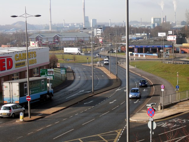
Parr Street, St. Helens
Parr Street is the main road into the town from the east. This view, at the junction with Corporation Street, shows some of the remaining industrial infrastructure to the town behind the roundabouts and the flatpack sheds.
Location:53.452333, -2.726978
Road:A58
Date:02 03 2010
Photographer:� Copyright Chris Denny and licensed for reuse under this Creative Commons Licence
Source:Geograph

Map

Y btmleft.gifY btmright.gif

Galleries  | A58 | St Helens

File history

Click on a date/time to view the file as it appeared at that time.

Date/TimeThumbnailDimensionsUserComment
current19:51, 10 March 2010Thumbnail for version as of 19:51, 10 March 2010640 × 480 (79 KB)Jeni (talk | contribs)'''Parr Street, St. Helens'''<br/>Parr Street is the main road into the town from the east. This view, at the junction with Corporation Street, shows some of the remaining industrial infrastructure to the town behind the roundabouts and the flatpack sheds

The following page uses this file:

Metadata

SABRE - The Society for All British and Irish Road Enthusiasts
Discuss - Digest - Discover - Help