File:Part of Stortford Road - Geograph - 1214357.jpg
Jump to navigation
Jump to search

No higher resolution available.
Part_of_Stortford_Road_-_Geograph_-_1214357.jpg (640 × 480 pixels, file size: 117 KB, MIME type: image/jpeg)
| |||||||||||||||||||||||||
|
Galleries | C34 (Hertfordshire) | ||
File history
Click on a date/time to view the file as it appeared at that time.
| Date/Time | Thumbnail | Dimensions | User | Comment | |
|---|---|---|---|---|---|
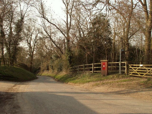
| current | 13:35, 18 February 2017 | | 640 × 480 (117 KB) | C2r (talk | contribs) | '''Part of Stortford Road''' A public bridleway crosses the road at this point |
File usage
The following 2 pages use this file: