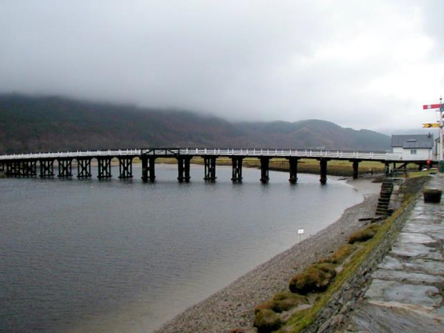
Penmaenpool Toll Bridge Provides a very worthwhile short cut for anyone wishing to traverse the Mawddach Estuary. The old railway semaphore signal on the right commemorates the Ruabon to Barmouth Junction railway which ran alongside the estuary here but is now a cycle/walking path.
'''Penmaenpool Toll Bridge'''<br/>Provides a very worthwhile short cut for anyone wishing to traverse the Mawddach Estuary. The old railway semaphore signal on the right commemorates the Ruabon to Barmouth Junction railway which ran alongside the estuary
File usage
There are no pages that use this file.
Metadata
This file contains additional information, probably added from the digital camera or scanner used to create or digitise it.
If the file has been modified from its original state, some details may not fully reflect the modified file.
