File:Pennine Way footbridge. - Coppermine - 16897.JPG
Jump to navigation
Jump to search

Size of this preview: 799 × 599 pixels. Other resolution: 1,229 × 922 pixels.
Original file (1,229 × 922 pixels, file size: 679 KB, MIME type: image/jpeg)
| ||||||||||||||
|
Galleries | M62 | E20 | E22 | Gantry Sign | ||
File history
Click on a date/time to view the file as it appeared at that time.
| Date/Time | Thumbnail | Dimensions | User | Comment | |
|---|---|---|---|---|---|
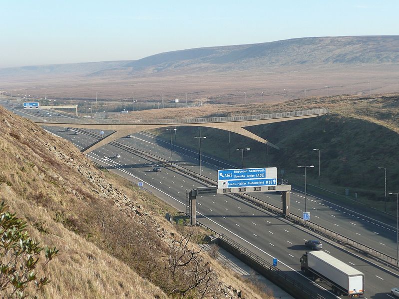
| current | 11:07, 27 February 2010 | | 1,229 × 922 (679 KB) | Jeni (talk | contribs) | {{Information |description = '''Pennine Way footbridge.''' The ridge on the right is Waystone Edge. Buckstones Pass is on the other side. The 'Way Stone' is a large rectangular boulder, perched on the right shoulder and visible to Westbound drivers at su |
File usage
There are no pages that use this file.