File:Penrhyn Crossing, Gwynedd (C) Peter Trimming - Geograph - 2629898.jpg
Jump to navigation
Jump to search

No higher resolution available.
Penrhyn_Crossing,_Gwynedd_(C)_Peter_Trimming_-_Geograph_-_2629898.jpg (640 × 426 pixels, file size: 107 KB, MIME type: image/jpeg)
| |||||||||||||||||||||||||
|
Galleries | A4085 | Level Crossing | Merionethshire | Penrhyndeudraeth | ||
File history
Click on a date/time to view the file as it appeared at that time.
| Date/Time | Thumbnail | Dimensions | User | Comment | |
|---|---|---|---|---|---|
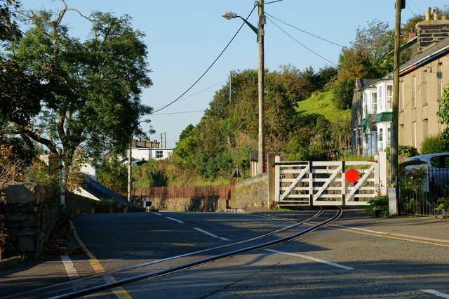
| current | 17:46, 27 October 2013 | | 640 × 426 (107 KB) | Glen (talk | contribs) | '''Penrhyn Crossing, Gwynedd (C) Peter Trimming '''<br/>The level crossing, at the northern edge of Penrhyndeudraeth. The Ffestiniog Railway's Penrhyn station building is located at the far end of the railings. |
File usage
The following page uses this file:
_Peter_Trimming_-_Geograph_-_2629898.jpg&oldid=356155)