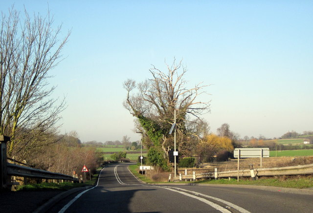
File:Pershore Lane, near Hindlip - Geograph - 2765587.jpg
Jump to navigation
Jump to search

No higher resolution available.
Pershore_Lane,_near_Hindlip_-_Geograph_-_2765587.jpg (640 × 436 pixels, file size: 66 KB, MIME type: image/jpeg)
| |||||||||||||||||||||||||
|
Galleries | A4538 | ||
File history
Click on a date/time to view the file as it appeared at that time.
| Date/Time | Thumbnail | Dimensions | User | Comment | |
|---|---|---|---|---|---|
| current | 16:44, 25 November 2013 | | 640 × 436 (66 KB) | Viator (talk | contribs) | Pershore Lane, near Hindlip |
File usage
The following page uses this file: