File:Pevensey By-Pass - Geograph - 1765055.jpg
Jump to navigation
Jump to search

No higher resolution available.
Pevensey_By-Pass_-_Geograph_-_1765055.jpg (640 × 480 pixels, file size: 78 KB, MIME type: image/jpeg)
| |||||||||||||||||||||||||
|
Galleries | A27 | ||
File history
Click on a date/time to view the file as it appeared at that time.
| Date/Time | Thumbnail | Dimensions | User | Comment | |
|---|---|---|---|---|---|
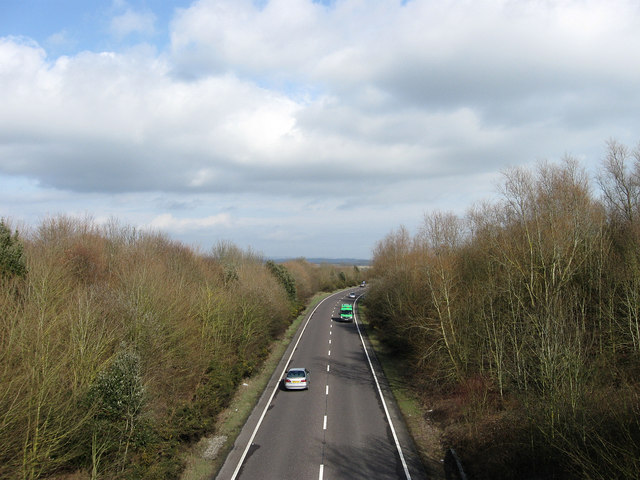
| current | 11:56, 27 March 2010 | | 640 × 480 (78 KB) | Jeni (talk | contribs) | '''Pevensey By-Pass'''<br/>Built in the early 1990s to take the heavy traffic on the A27 out of Stone Cross, Westham and Pevensey. Viewed from Hankham Hall Road bridge. |
File usage
There are no pages that use this file.