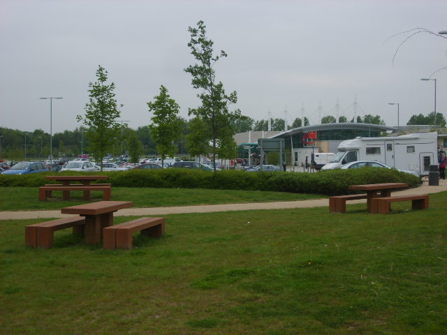
File:Picnic area at Norton Canes Services - Geograph - 426231.jpg
Jump to navigation
Jump to search

No higher resolution available.
Picnic_area_at_Norton_Canes_Services_-_Geograph_-_426231.jpg (640 × 480 pixels, file size: 97 KB, MIME type: image/jpeg)
| |||||||||||||||||||||||||
|
Galleries | M6 Toll | Norton Canes services | ||
File history
Click on a date/time to view the file as it appeared at that time.
| Date/Time | Thumbnail | Dimensions | User | Comment | |
|---|---|---|---|---|---|
| current | 01:11, 7 January 2010 | | 640 × 480 (97 KB) | Jeni (talk | contribs) | {{Information |description = Picnic area at Norton Canes Services |day = 04 |month = 05 |year = 2007 |photographer = © Copyright [http://www.geograph.org.uk/profile/13213 William Metcalfe] and licensed for reuse under [http://cre |
File usage
There are no pages that use this file.