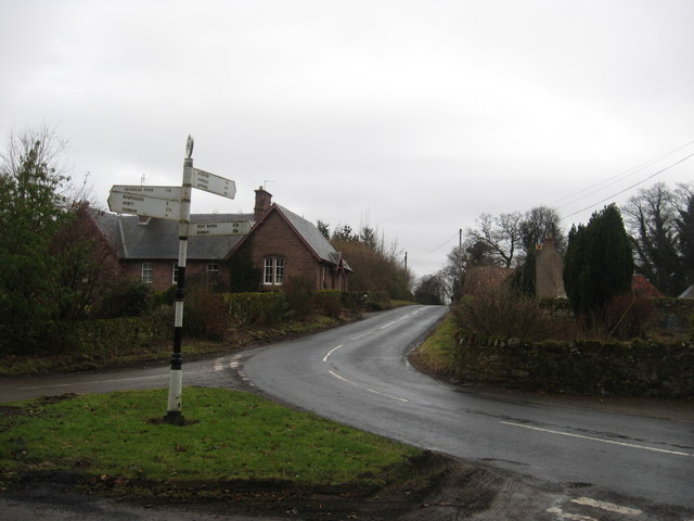
File:Pitcox - Geograph - 1706833.jpg
Jump to navigation
Jump to search

No higher resolution available.
Pitcox_-_Geograph_-_1706833.jpg (640 × 480 pixels, file size: 53 KB, MIME type: image/jpeg)
| |||||||||||||||||||||||||
|
Galleries | B6370 | East Lothian Hillfoots Trail | ||
File history
Click on a date/time to view the file as it appeared at that time.
| Date/Time | Thumbnail | Dimensions | User | Comment | |
|---|---|---|---|---|---|
| current | 16:40, 18 February 2010 | | 640 × 480 (53 KB) | Jeni (talk | contribs) | {{Information |description = Pitcox |day = 13 |month = 02 |year = 2010 |photographer = © Copyright [http://www.geograph.org.uk/profile/21251 james denham and licensed for reuse under [http://creativecommons.org/licenses/by-sa/2.0 |
File usage
The following 4 pages use this file: