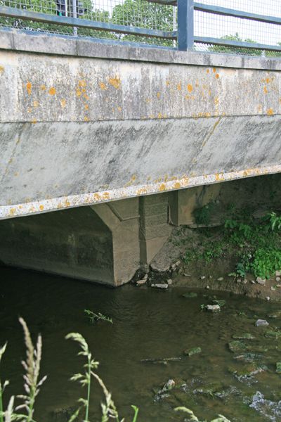
Pomparles Bridge carrying the A39 over the river Brue south of Glastonbury. The arch seen under the concrete deck dates back to 1912, the concrete is probably 1970s.
Pomparles Bridge carrying the A39 over the river Brue south of Glastonbury. The arch seen under the concrete deck dates back to 1912, the concrete is probably 1970s.
