File:Port Glasgow - Geograph - 5778470.jpg
Jump to navigation
Jump to search

No higher resolution available.
Port_Glasgow_-_Geograph_-_5778470.jpg (640 × 434 pixels, file size: 104 KB, MIME type: image/jpeg)
| |||||||||||||||||||||||||
|
Galleries | A8 | Port Glasgow | ||
File history
Click on a date/time to view the file as it appeared at that time.
| Date/Time | Thumbnail | Dimensions | User | Comment | |
|---|---|---|---|---|---|
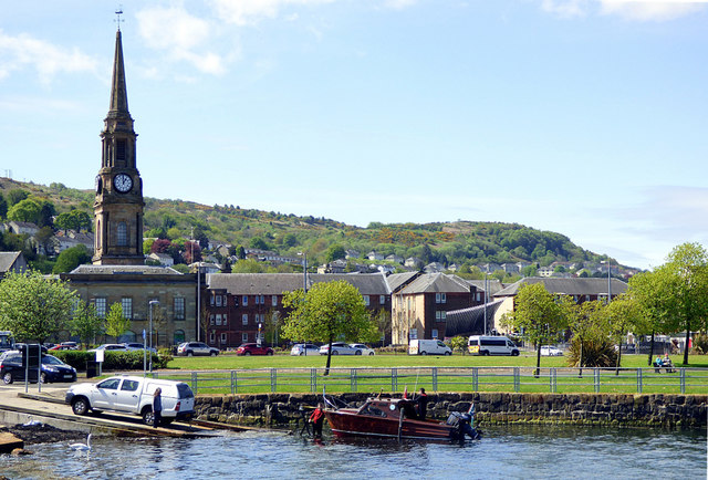
| current | 12:23, 24 February 2021 | | 640 × 434 (104 KB) | Tam nugent (talk | contribs) | '''Port Glasgow''' A small boat being loaded onto a trailer at Coronation Park slipway. The Category A Listed Town Building is in the background. |
File usage
The following page uses this file: