File:Port Way - Geograph - 1574955.jpg
Jump to navigation
Jump to search

No higher resolution available.
Port_Way_-_Geograph_-_1574955.jpg (640 × 427 pixels, file size: 56 KB, MIME type: image/jpeg)
| |||||||||||||||||||||||||
|
Galleries | A4074 | A4000-A4099 | ||
File history
Click on a date/time to view the file as it appeared at that time.
| Date/Time | Thumbnail | Dimensions | User | Comment | |
|---|---|---|---|---|---|
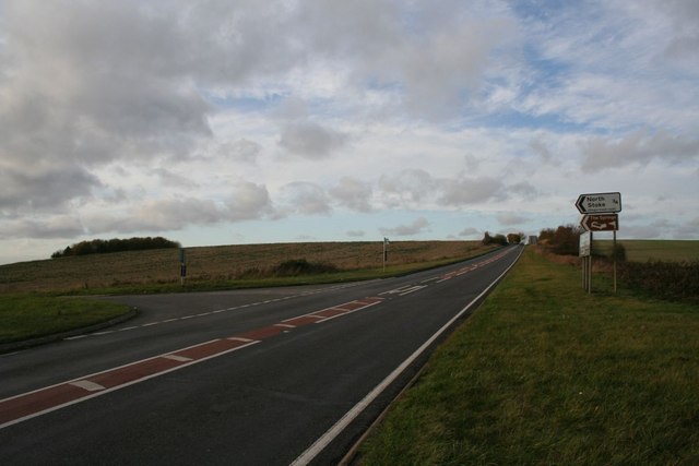
| current | 13:50, 8 March 2010 | | 640 × 427 (56 KB) | Jeni (talk | contribs) | '''Port Way'''<br/>The road is called Port Way though the road number is the A4074. This road is quite a dangerous one due to the speed people drive at. |
File usage
The following page uses this file: