File:Portaferry Road near Nuns Quarter - Geograph - 806663.jpg
Jump to navigation
Jump to search

No higher resolution available.
Portaferry_Road_near_Nuns_Quarter_-_Geograph_-_806663.jpg (640 × 480 pixels, file size: 240 KB, MIME type: image/jpeg)
| |||||||||||||||||||||||||
|
Galleries | A20 (Northern Ireland) | St Patricks Trail | ||
File history
Click on a date/time to view the file as it appeared at that time.
| Date/Time | Thumbnail | Dimensions | User | Comment | |
|---|---|---|---|---|---|
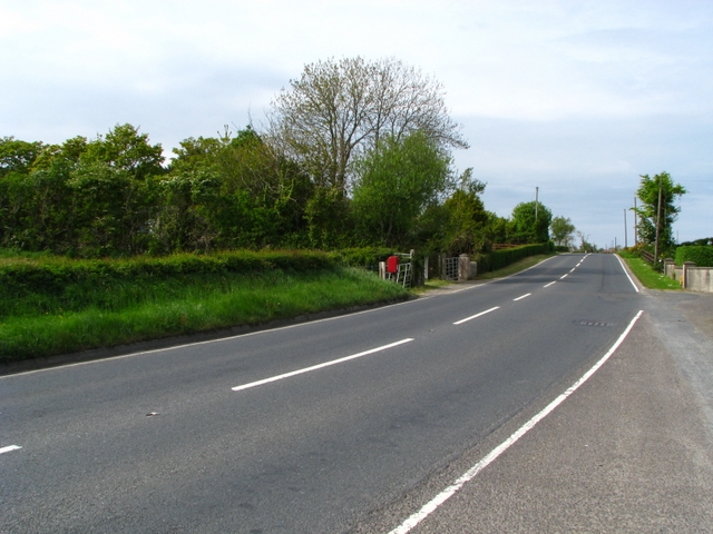
| current | 10:28, 20 March 2017 | | 640 × 480 (240 KB) | Si404 (talk | contribs) | '''Portaferry Road near Nuns Quarter''' Looking north along the A20 Portaferry Road from near Nuns Quarter north of Kircubbin. |
File usage
The following 2 pages use this file: