File:Portavadie, unusual road sign - Geograph - 2622077.jpg
Jump to navigation
Jump to search

No higher resolution available.
Portavadie,_unusual_road_sign_-_Geograph_-_2622077.jpg (640 × 480 pixels, file size: 81 KB, MIME type: image/jpeg)
| |||||||||||||||||||||||||
|
Galleries | UC26 (Argyll_and_Bute) | ||
File history
Click on a date/time to view the file as it appeared at that time.
| Date/Time | Thumbnail | Dimensions | User | Comment | |
|---|---|---|---|---|---|
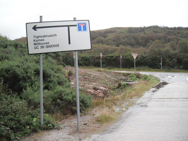
| current | 19:36, 18 October 2017 | | 640 × 480 (81 KB) | A01020304 (talk | contribs) | '''Portavadie, unusual road sign''' An unusual road sign at the end of the access road from the Portavadie ferry terminal in that it shows an unclassified road number UC 26 although having given the road a number does that not mean the road is classifi... |
File usage
The following page uses this file: