File:Portlaoise, County Laois (C) Sarah777 - Geograph - 1805202.jpg
Jump to navigation
Jump to search

No higher resolution available.
Portlaoise,_County_Laois_(C)_Sarah777_-_Geograph_-_1805202.jpg (640 × 427 pixels, file size: 48 KB, MIME type: image/jpeg)
| |||||||||||||||||||||||||
|
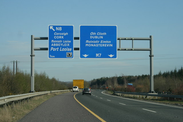
Galleries | M7 (Republic of Ireland) | M8 (Republic of Ireland) | Togher Interchange | Port Laoise | ||
File history
Click on a date/time to view the file as it appeared at that time.
| Date/Time | Thumbnail | Dimensions | User | Comment | |
|---|---|---|---|---|---|
| current | 14:51, 4 June 2013 | | 640 × 427 (48 KB) | Ritchie333 (talk | contribs) | '''Portlaoise, County Laois (C) Sarah777 '''<br/>M7 bypass. |
File usage
The following 4 pages use this file:
_Sarah777_-_Geograph_-_1805202.jpg&oldid=619578)