File:Portsmouth Road (C) Colin Smith - Geograph - 637615.jpg
Jump to navigation
Jump to search

No higher resolution available.
Portsmouth_Road_(C)_Colin_Smith_-_Geograph_-_637615.jpg (640 × 480 pixels, file size: 73 KB, MIME type: image/jpeg)
| |||||||||||||||||||||||||
|
Galleries | A307 | A3063 (Kingston) | ||
File history
Click on a date/time to view the file as it appeared at that time.
| Date/Time | Thumbnail | Dimensions | User | Comment | |
|---|---|---|---|---|---|
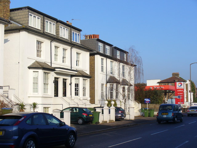
| current | 16:19, 19 July 2014 | | 640 × 480 (73 KB) | Vlad (talk | contribs) | '''Portsmouth Road (C) Colin Smith '''<br/>Substantial detached houses, with basements, in Long Ditton on the former main road between London and Portsmouth. This road is now the A307 (Kingston - Esher) while the Portsmouth road (A3) is now a multi-lan... |
File usage
The following page uses this file:
_Colin_Smith_-_Geograph_-_637615.jpg&oldid=381230)