File:Power Station Road - Geograph - 5851856.jpg
Jump to navigation
Jump to search

No higher resolution available.
Power_Station_Road_-_Geograph_-_5851856.jpg (640 × 480 pixels, file size: 82 KB, MIME type: image/jpeg)
| |||||||||||||||||||||||||
|
Galleries | Power Station Road (North Ayrshire) | Oilrig Road (North Ayrshire) | Hunterston | ||
File history
Click on a date/time to view the file as it appeared at that time.
| Date/Time | Thumbnail | Dimensions | User | Comment | |
|---|---|---|---|---|---|
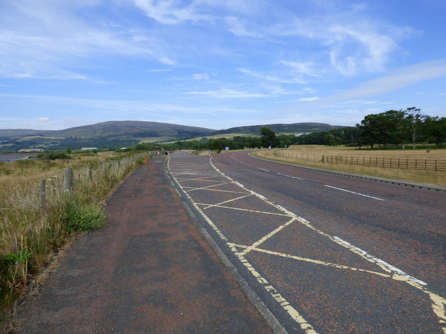
| current | 23:50, 27 March 2021 | | 640 × 480 (82 KB) | Tam nugent (talk | contribs) | Power Station Road follows the hatching to the left, and is gated at this point where it crosses Oilrig Road. Traffic from the power stations to the A78 seamlessly joins Oilrig Road and swings right at this point. |
File usage
There are no pages that use this file.