File:Prestwood High Street looking West - Geograph - 1368380.jpg
Jump to navigation
Jump to search

No higher resolution available.
Prestwood_High_Street_looking_West_-_Geograph_-_1368380.jpg (640 × 480 pixels, file size: 74 KB, MIME type: image/jpeg)
| |||||||||||||||||||||||||
|
Galleries | A4128 | ||
File history
Click on a date/time to view the file as it appeared at that time.
| Date/Time | Thumbnail | Dimensions | User | Comment | |
|---|---|---|---|---|---|
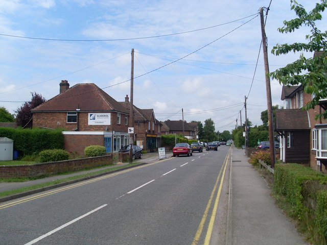
| current | 10:33, 11 March 2017 | | 640 × 480 (74 KB) | Si404 (talk | contribs) | '''Prestwood High Street looking West''' View of the High Street in Prestwood looking West from the Cross Roads (Moat Lane/Nairdwood Lane). |
File usage
The following page uses this file: