File:Prince's Street - Geograph - 4727235.jpg
Jump to navigation
Jump to search

No higher resolution available.
Prince's_Street_-_Geograph_-_4727235.jpg (640 × 480 pixels, file size: 90 KB, MIME type: image/jpeg)
| |||||||||||||||||||||||||
|
Galleries | B6168 (Stockport) | unclassified | Stockport | ||
File history
Click on a date/time to view the file as it appeared at that time.
| Date/Time | Thumbnail | Dimensions | User | Comment | |
|---|---|---|---|---|---|
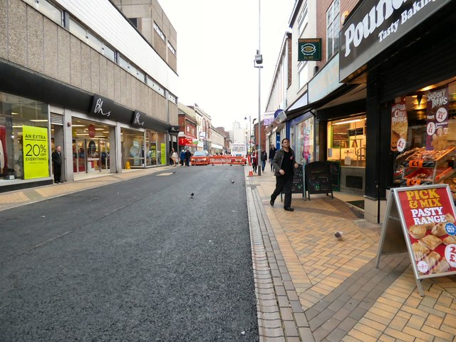
| current | 20:05, 20 August 2016 | | 640 × 480 (90 KB) | Vlad (talk | contribs) | '''Prince's Street''' In recent years Prince's Street has been split into six sections with three of them made into pedestrianised areas with little trees, benches, litter bins and lighting. Now that has all gone and the area has been tarmacked over.... |
File usage
The following 2 pages use this file: