File:Puckeridge- Former Ermine Street (2) - Geograph - 4270601.jpg
Jump to navigation
Jump to search

No higher resolution available.
Puckeridge-_Former_Ermine_Street_(2)_-_Geograph_-_4270601.jpg (640 × 480 pixels, file size: 80 KB, MIME type: image/jpeg)
| |||||||||||||||||||||||||
|
Galleries | A10 | Puckeridge | Hertfordshire | Abandoned Road | ||
File history
Click on a date/time to view the file as it appeared at that time.
| Date/Time | Thumbnail | Dimensions | User | Comment | |
|---|---|---|---|---|---|
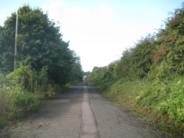
| current | 08:40, 12 May 2018 | | 640 × 480 (80 KB) | C2r (talk | contribs) | '''Puckeridge- Former Ermine Street (2)''' Once the Roman Road Ermine Street, once the A10, this section to the south of the A120 road is now just a public footpath and cycleway. The distant concrete block is one of several barring the way to motor veh... |
File usage
The following 3 pages use this file:
_-_Geograph_-_4270601.jpg&oldid=487294)