File:Purdysburn Hill Road, Ballylesson - Geograph - 756930.jpg
Jump to navigation
Jump to search

No higher resolution available.
Purdysburn_Hill_Road,_Ballylesson_-_Geograph_-_756930.jpg (640 × 433 pixels, file size: 110 KB, MIME type: image/jpeg)
| |||||||||||||||||||||||||
|
Galleries | B205 (Northern Ireland) | ||
File history
Click on a date/time to view the file as it appeared at that time.
| Date/Time | Thumbnail | Dimensions | User | Comment | |
|---|---|---|---|---|---|
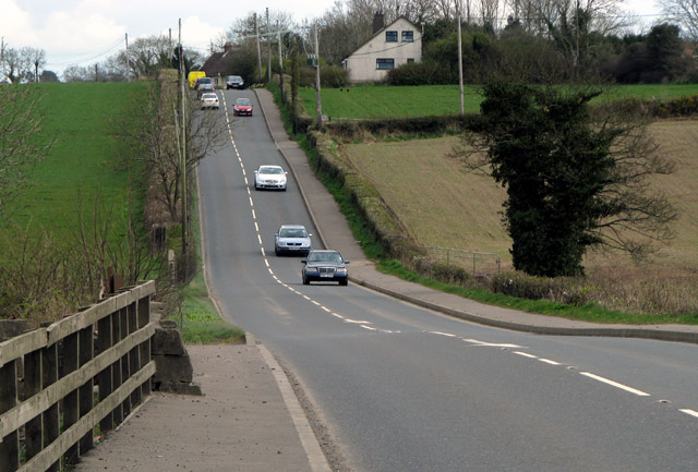
| current | 19:43, 19 February 2017 | | 640 × 433 (110 KB) | Vlad (talk | contribs) | '''Purdysburn Hill Road, Ballylesson''' Purdsyburn Hill Road, looking towards Purdysburn on the edge of Belfast. Usually busy, the road forms part of an alternative route between Belfast and Lisburn, avoiding the Westlink and M1 motorway. |
File usage
The following 2 pages use this file: