File:Quay Street, Donegal Town - Geograph - 3218837.jpg
Jump to navigation
Jump to search

No higher resolution available.
Quay_Street,_Donegal_Town_-_Geograph_-_3218837.jpg (640 × 379 pixels, file size: 38 KB, MIME type: image/jpeg)
| |||||||||||||||||||||||||
|
Galleries | R267 | Wild Atlantic Way | ||
File history
Click on a date/time to view the file as it appeared at that time.
| Date/Time | Thumbnail | Dimensions | User | Comment | |
|---|---|---|---|---|---|
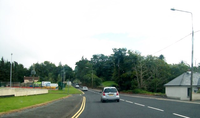
| current | 12:05, 25 July 2013 | | 640 × 379 (38 KB) | Viator (talk | contribs) | '''Quay Street, Donegal Town'''<br/>Looking south along the R267 by the Abbey Vocational School. |
File usage
The following page uses this file: