File:Queen Elizabeth Bridge - Geograph - 1445278.jpg
Jump to navigation
Jump to search

No higher resolution available.
Queen_Elizabeth_Bridge_-_Geograph_-_1445278.jpg (640 × 480 pixels, file size: 84 KB, MIME type: image/jpeg)
| |||||||||||||||||||||||||
|
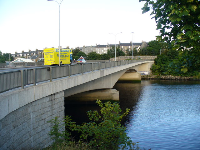
Galleries | A956 | Queen Elizabeth Bridge (Aberdeen) | Aberdeen | ||
File history
Click on a date/time to view the file as it appeared at that time.
| Date/Time | Thumbnail | Dimensions | User | Comment | |
|---|---|---|---|---|---|
| current | 12:46, 17 July 2010 | | 640 × 480 (84 KB) | Bob@romiley1 (talk | contribs) | '''Queen Elizabeth Bridge'''<br/>This 1983 bridge carries trunk road traffic across the Dee. On the skyline are tenements in Aberdeen's suburb of Torry. |
File usage
The following 2 pages use this file: