File:Queensway bus lane, Newport city centre - Geograph - 4620421.jpg
Jump to navigation
Jump to search

Size of this preview: 531 × 599 pixels. Other resolution: 567 × 640 pixels.
Original file (567 × 640 pixels, file size: 97 KB, MIME type: image/jpeg)
| |||||||||||||||||||||||||
|
Galleries | B4591 | Bus Lane | Newport | Warning Sign/Flood | ||
File history
Click on a date/time to view the file as it appeared at that time.
| Date/Time | Thumbnail | Dimensions | User | Comment | |
|---|---|---|---|---|---|
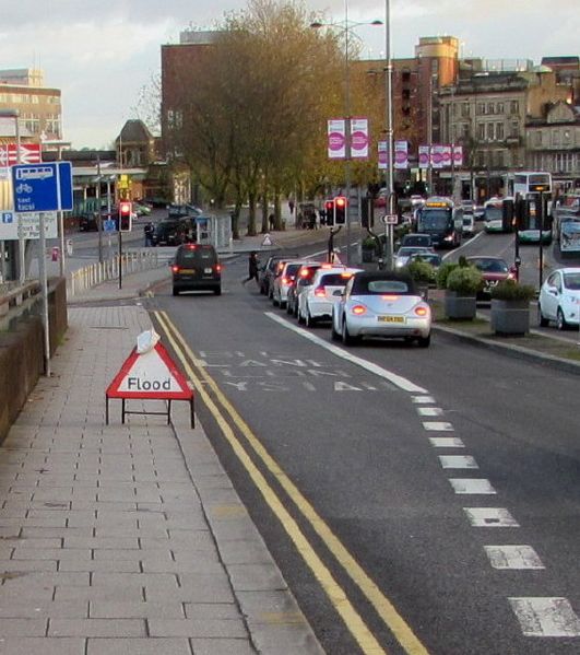
| current | 16:02, 3 June 2016 | | 567 × 640 (97 KB) | M4simon (talk | contribs) | '''Queensway bus lane, Newport city centre''' The bus lane can also be used by coaches, taxis and bicycles. |
File usage
The following 2 pages use this file: