File:Quin Bridge, Quin, Co. Clare - Geograph - 2799855.jpg
Jump to navigation
Jump to search

No higher resolution available.
Quin_Bridge,_Quin,_Co._Clare_-_Geograph_-_2799855.jpg (640 × 419 pixels, file size: 80 KB, MIME type: image/jpeg)
| |||||||||||||||||||||||||
|
Galleries | R469 | ||
File history
Click on a date/time to view the file as it appeared at that time.
| Date/Time | Thumbnail | Dimensions | User | Comment | |
|---|---|---|---|---|---|
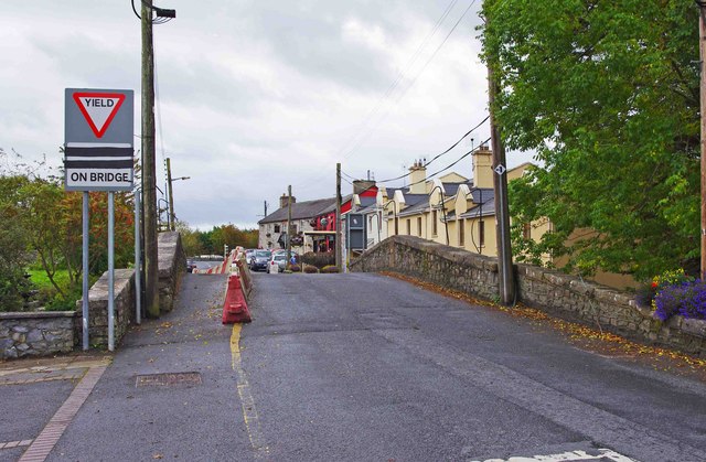
| current | 17:02, 16 March 2014 | | 640 × 419 (80 KB) | Viator (talk | contribs) | Bridge carrying the R469 across the River Rine at Quin |
File usage
The following 2 pages use this file: