File:R139 at Belcamp, Clonshaugh, Co. Dublin - Geograph - 626989.jpg
Jump to navigation
Jump to search

No higher resolution available.
R139_at_Belcamp,_Clonshaugh,_Co._Dublin_-_Geograph_-_626989.jpg (640 × 427 pixels, file size: 67 KB, MIME type: image/jpeg)
| |||||||||||||||||||||||||
File history
Click on a date/time to view the file as it appeared at that time.
| Date/Time | Thumbnail | Dimensions | User | Comment | |
|---|---|---|---|---|---|
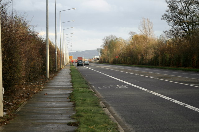
| current | 08:31, 26 August 2013 | | 640 × 427 (67 KB) | Viator (talk | contribs) | The R139 (former N32) at Belcamp, Clonshaugh, Co. Dublin, looking east |
File usage
The following 3 pages use this file: