File:R575 passing up through the mountain - Geograph - 4549101.jpg
Jump to navigation
Jump to search

No higher resolution available.
R575_passing_up_through_the_mountain_-_Geograph_-_4549101.jpg (640 × 480 pixels, file size: 71 KB, MIME type: image/jpeg)
| |||||||||||||||||||||||||
|
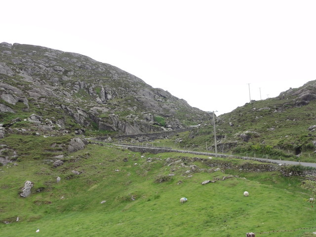
Galleries | R575 | Ring of Beara | Wild Atlantic Way | ||
File history
Click on a date/time to view the file as it appeared at that time.
| Date/Time | Thumbnail | Dimensions | User | Comment | |
|---|---|---|---|---|---|
| current | 09:56, 14 May 2016 | | 640 × 480 (71 KB) | C2r (talk | contribs) | '''R575 passing up through the mountain''' Mountain pass on R575 |
File usage
The following page uses this file: