File:Radio City, Kilbirnie - Geograph - 6446343.jpg
Jump to navigation
Jump to search

No higher resolution available.
Radio_City,_Kilbirnie_-_Geograph_-_6446343.jpg (640 × 359 pixels, file size: 66 KB, MIME type: image/jpeg)
| |||||||||||||||||||||||||
File history
Click on a date/time to view the file as it appeared at that time.
| Date/Time | Thumbnail | Dimensions | User | Comment | |
|---|---|---|---|---|---|
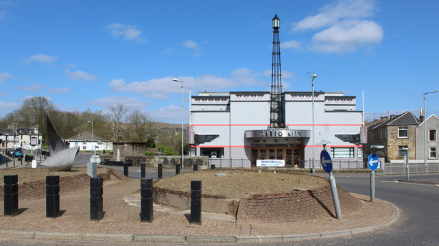
| current | 20:48, 30 March 2021 | | 640 × 359 (66 KB) | Tam nugent (talk | contribs) | Viewed across the roundabout on the A760 at Bridgend/Garnock Street. |
File usage
The following page uses this file: