File:Railway Bar, near Knockglass More, Tralee - Geograph - 3480630.jpg
Jump to navigation
Jump to search

No higher resolution available.
Railway_Bar,_near_Knockglass_More,_Tralee_-_Geograph_-_3480630.jpg (640 × 361 pixels, file size: 45 KB, MIME type: image/jpeg)
| |||||||||||||||||||||||||
|
Galleries | N86 | Wild Atlantic Way | County Kerry | ||
File history
Click on a date/time to view the file as it appeared at that time.
| Date/Time | Thumbnail | Dimensions | User | Comment | |
|---|---|---|---|---|---|
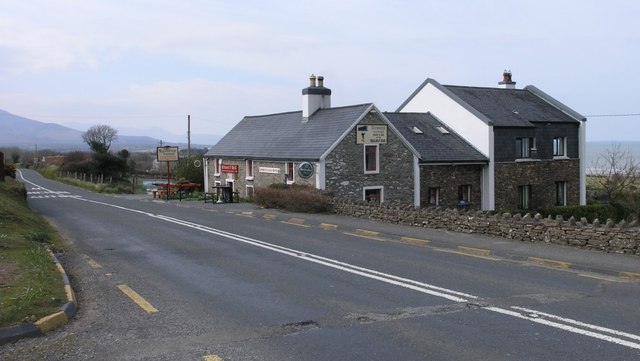
| current | 13:32, 30 July 2016 | | 640 × 361 (45 KB) | A39 chris (talk | contribs) | There is no longer a railway here, however the Railway Bar has many fragments of memorabilia, both inside and out of the Tralee and Dingle Light Railway, a narrow gauge railway which used to run nearby. |
File usage
The following page uses this file: