File:Railway Bridge at Mossblown (C) Mary and Angus Hogg - Geograph - 3634396.jpg
Jump to navigation
Jump to search

No higher resolution available.
Railway_Bridge_at_Mossblown_(C)_Mary_and_Angus_Hogg_-_Geograph_-_3634396.jpg (640 × 444 pixels, file size: 77 KB, MIME type: image/jpeg)
| |||||||||||||||||||||||||
|
Galleries | B742 | B713 (Prestwick) | ||
File history
Click on a date/time to view the file as it appeared at that time.
| Date/Time | Thumbnail | Dimensions | User | Comment | |
|---|---|---|---|---|---|
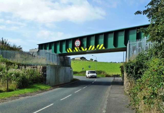
| current | 20:54, 27 February 2015 | | 640 × 444 (77 KB) | Vlad (talk | contribs) | '''Railway Bridge at Mossblown (C) Mary and Angus Hogg '''<br/>The B742 from Sandyford Toll passes below the railway line here. |
File usage
The following 3 pages use this file:
_Mary_and_Angus_Hogg_-_Geograph_-_3634396.jpg&oldid=395620)