File:Railway bridge on B5373 - Geograph - 1356776.jpg
Jump to navigation
Jump to search

No higher resolution available.
Railway_bridge_on_B5373_-_Geograph_-_1356776.jpg (640 × 480 pixels, file size: 92 KB, MIME type: image/jpeg)
| |||||||||||||||||||||||||
|
Galleries | B5373 | Warning Sign/Maximum Headroom | S1 | ||
File history
Click on a date/time to view the file as it appeared at that time.
| Date/Time | Thumbnail | Dimensions | User | Comment | |
|---|---|---|---|---|---|
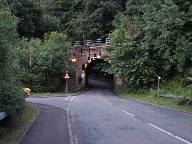
| current | 16:17, 26 March 2010 | | 640 × 480 (92 KB) | Bob@romiley1 (talk | contribs) | '''Railway bridge on B5373'''<br/>View uphill where the road takes a left as it climbs through the trees towards Gresford. |
File usage
The following 3 pages use this file: