File:Railway viaduct, Goswell Road, Windsor - Geograph - 3599890.jpg
Jump to navigation
Jump to search

No higher resolution available.
Railway_viaduct,_Goswell_Road,_Windsor_-_Geograph_-_3599890.jpg (640 × 538 pixels, file size: 101 KB, MIME type: image/jpeg)
| |||||||||||||||||||||||||
|
Galleries | C8765 (Windsor and Maidenhead) | Windsor | ||
File history
Click on a date/time to view the file as it appeared at that time.
| Date/Time | Thumbnail | Dimensions | User | Comment | |
|---|---|---|---|---|---|
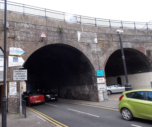
| current | 15:58, 13 January 2018 | | 640 × 538 (101 KB) | Si404 (talk | contribs) | '''Railway viaduct, Goswell Road, Windsor''' Goswell Road passes under a section of a long viaduct. Part of Windsor & Eton Central railway station http://www.geograph.org.uk/photo/3588303 is on top of the viaduct. |
File usage
The following 2 pages use this file: