File:Ralegh's Cross Inn - Geograph - 2076095.jpg
Jump to navigation
Jump to search

No higher resolution available.
Ralegh's_Cross_Inn_-_Geograph_-_2076095.jpg (640 × 480 pixels, file size: 56 KB, MIME type: image/jpeg)
| |||||||||||||||||||||||||
|
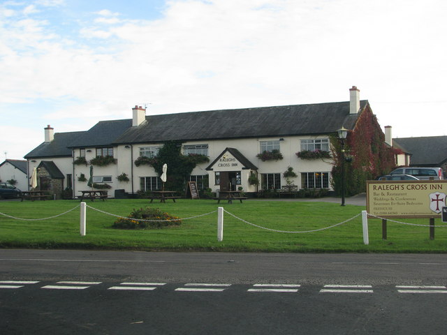
Galleries | B3190 | B3224 | Raleghs Cross | Roadside Inn | ||
File history
Click on a date/time to view the file as it appeared at that time.
| Date/Time | Thumbnail | Dimensions | User | Comment | |
|---|---|---|---|---|---|
| current | 15:09, 11 August 2016 | | 640 × 480 (56 KB) | Rileyrob (talk | contribs) | '''Ralegh's Cross Inn''' from the B3190 / B3224 junction |
File usage
The following 4 pages use this file: