File:Reading Bridge, River Thames - Geograph - 482247.jpg
Jump to navigation
Jump to search

No higher resolution available.
Reading_Bridge,_River_Thames_-_Geograph_-_482247.jpg (640 × 501 pixels, file size: 159 KB, MIME type: image/jpeg)
| |||||||||||||||||||||||||
|
Galleries | B3345 | ||
File history
Click on a date/time to view the file as it appeared at that time.
| Date/Time | Thumbnail | Dimensions | User | Comment | |
|---|---|---|---|---|---|
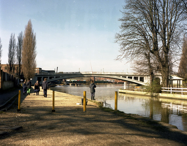
| current | 19:01, 3 March 2010 | | 640 × 501 (159 KB) | Bob@romiley1 (talk | contribs) | {{Information |description = Reading Bridge, River Thames |day = 05 |month = 03 |year = 1978 |photographer = © Copyright [http://www.geograph.org.uk/profile/796 Dr Neil Clifton] and licensed for reuse under [http://creativecommon |
File usage
The following 2 pages use this file: