File:Reedyford Road, Nelson (C) Bill Boaden - Geograph - 2744633.jpg
Jump to navigation
Jump to search

No higher resolution available.
Reedyford_Road,_Nelson_(C)_Bill_Boaden_-_Geograph_-_2744633.jpg (640 × 428 pixels, file size: 78 KB, MIME type: image/jpeg)
| |||||||||||||||||||||||||
|
Galleries | A6068 | B6446 (Nelson) | Nelson | ||
File history
Click on a date/time to view the file as it appeared at that time.
| Date/Time | Thumbnail | Dimensions | User | Comment | |
|---|---|---|---|---|---|
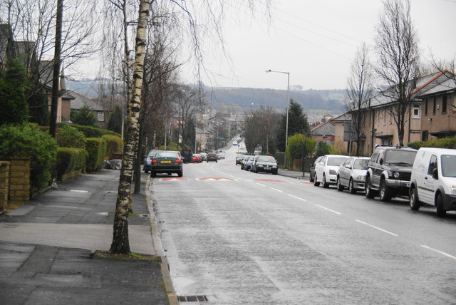
| current | 21:01, 1 November 2014 | | 640 × 428 (78 KB) | Vlad (talk | contribs) | '''Reedyford Road, Nelson (C) Bill Boaden '''<br/>A link between the A56 and the M65 at Barrowford, skirting the north of Nelson. A typical grey day. |
File usage
The following 6 pages use this file:
_Bill_Boaden_-_Geograph_-_2744633.jpg&oldid=390223)