File:Richard Street, Castlebar - Geograph - 5110570.jpg
Jump to navigation
Jump to search

No higher resolution available.
Richard_Street,_Castlebar_-_Geograph_-_5110570.jpg (640 × 481 pixels, file size: 138 KB, MIME type: image/jpeg)
| |||||||||||||||||||||||||
|
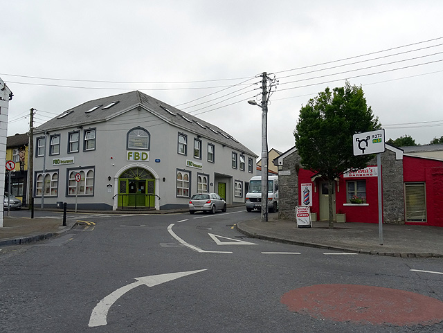
Galleries | R373 | Advance Direction Sign | ||
File history
Click on a date/time to view the file as it appeared at that time.
| Date/Time | Thumbnail | Dimensions | User | Comment | |
|---|---|---|---|---|---|
| current | 07:17, 24 April 2017 | | 640 × 481 (138 KB) | Viator (talk | contribs) | Unorthodox use of an advance direction sign to indicate the R373's eastbound exit from a mini-roundabout in Castlebar |
File usage
The following page uses this file: