File:Ring of Kerry - Moll's Gap view from R568 near N71 - Geograph - 1632918.jpg
Jump to navigation
Jump to search

No higher resolution available.
Ring_of_Kerry_-_Moll's_Gap_view_from_R568_near_N71_-_Geograph_-_1632918.jpg (640 × 427 pixels, file size: 102 KB, MIME type: image/jpeg)
| |||||||||||||||||||||||||
|
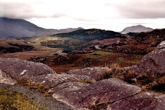
Galleries | R568 | Moll's Gap | Ring of Kerry | ||
File history
Click on a date/time to view the file as it appeared at that time.
| Date/Time | Thumbnail | Dimensions | User | Comment | |
|---|---|---|---|---|---|
| current | 17:19, 23 March 2017 | | 640 × 427 (102 KB) | C2r (talk | contribs) | '''Ring of Kerry - Moll's Gap view from R568 near N71''' |
File usage
The following 5 pages use this file: