File:Ringway West - Geograph - 1761957.jpg
Jump to navigation
Jump to search

No higher resolution available.
Ringway_West_-_Geograph_-_1761957.jpg (640 × 480 pixels, file size: 90 KB, MIME type: image/jpeg)
| |||||||||||||||||||||||||
|
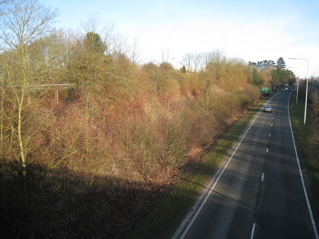
Galleries | A340 | Basingstoke | Basingstoke Ring Road | Ring Roads | ||
File history
Click on a date/time to view the file as it appeared at that time.
| Date/Time | Thumbnail | Dimensions | User | Comment | |
|---|---|---|---|---|---|
| current | 12:08, 21 March 2010 | | 640 × 480 (90 KB) | Jeni (talk | contribs) | '''Ringway West'''<br/>Heading north, view from Brunnel Road. |
File usage
The following page uses this file: