File:Ripley Road, Heage - Geograph - 1451106.jpg
Jump to navigation
Jump to search

No higher resolution available.
Ripley_Road,_Heage_-_Geograph_-_1451106.jpg (640 × 474 pixels, file size: 75 KB, MIME type: image/jpeg)
| |||||||||||||||||||||||||
|
Galleries | B6374 (Derbyshire) | S2 | ||
File history
Click on a date/time to view the file as it appeared at that time.
| Date/Time | Thumbnail | Dimensions | User | Comment | |
|---|---|---|---|---|---|
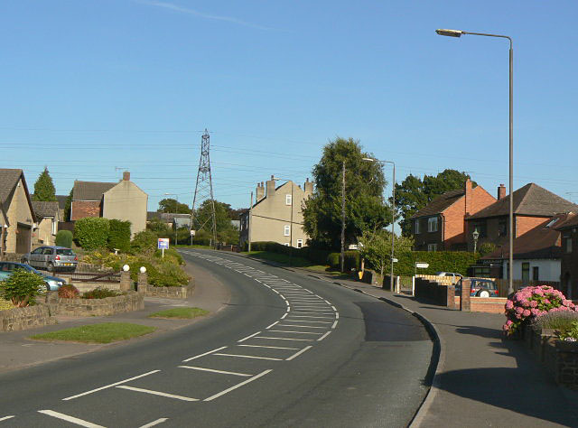
| current | 20:11, 10 April 2010 | | 640 × 474 (75 KB) | Bob@romiley1 (talk | contribs) | '''Ripley Road, Heage'''<br/>The eastern end of Heage straggles along the B6374. |
File usage
The following 2 pages use this file: